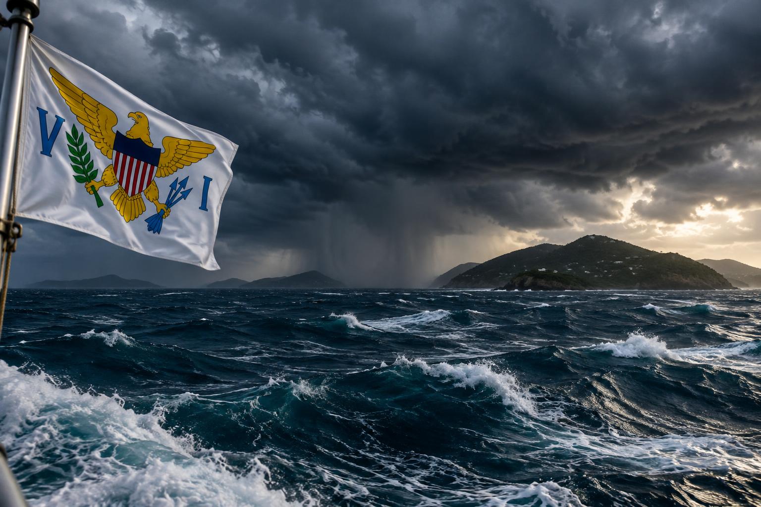
A combination of atmospheric conditions will bring significant rainfall and marine hazards to the US Virgin Islands from Friday night through Sunday, according to the National Weather Service.
Moisture flowing across the territory from a low-pressure system to the north and an upper-level disturbance will fuel showers and thunderstorms. Friday night into Saturday will see the heaviest activity, with St. Croix facing an 80 percent likelihood of rain Saturday, while St. Thomas and St. John each face a 70 percent chance. All three islands have a 70 percent chance of rain Friday night.
Forecasters cautioned that stationary thunderstorms could flood roads, small streams and normally dry channels, with isolated flash flooding possible. Lightning and wind gusts up to 25 mph are expected on the northern islands overnight and on St. Croix Saturday. Waterspouts may form over coastal waters during the strongest storms.
The unsettled conditions will persist through Sunday, though the likelihood of rain decreases. Sunday's forecast shows a 50 percent chance on St. Croix, where isolated thunderstorms remain possible, and 30 percent on St. Thomas and St. John.
Ocean and coastal conditions will also create hazards. A northerly swell will intensify through the weekend, peaking Saturday evening into Sunday. Offshore Atlantic waters and the Anegada Passage will see seas of 5 to 6 feet, occasionally reaching 8 feet, Saturday night and Sunday.
Surf heights will climb from roughly 4 feet Friday to 5 feet Saturday and Sunday on St. Thomas and St. John. St. Croix will see surf rise from about 3 feet Friday to 4 feet Saturday and 5 feet Sunday. Moderate rip-current risk is in effect Friday and Saturday on St. Thomas and St. John, while St. Croix faces low risk Friday, increasing to moderate Saturday.
Moderate rip-current risk indicates life-threatening currents are possible. The National Weather Service advised swimmers to remain near lifeguards, heed beach patrol instructions and observe warning flags. Residents should not drive or walk through flooded areas. Anyone hearing thunder should seek shelter in a building or vehicle and remain inside for at least 30 minutes after the last thunder.




Comments
No comments yet. Be the first.