
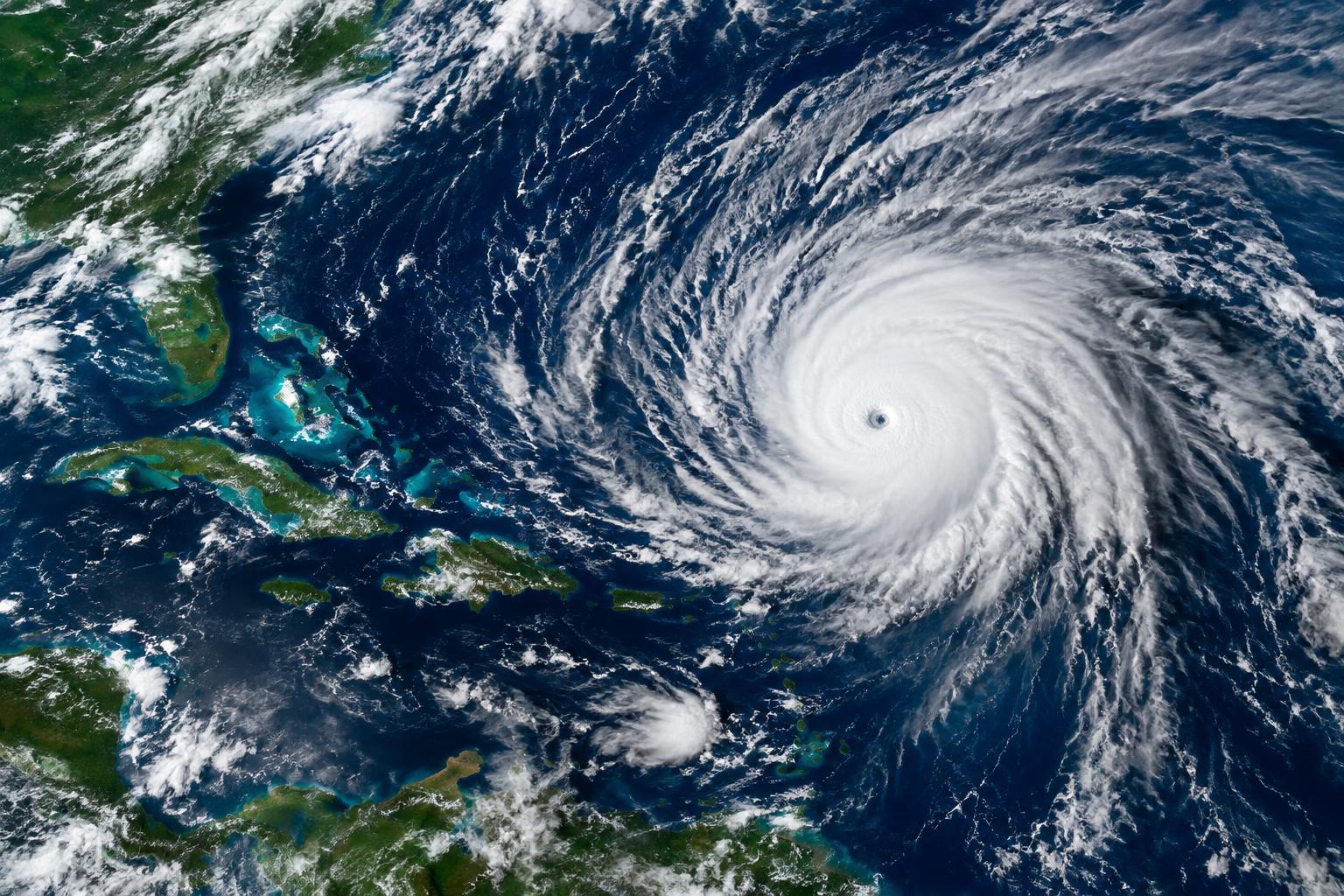
The Atlantic basin has opened October without producing a single hurricane, a first since meteorologists began tracking storms by satellite in 1966.
Eight named tropical systems have formed since mid-June: Arthur, Bertha, Cristobal, Dolly, Edouard, Fay, Gonzalo and Hanna. None intensified into hurricanes. The most recent satellite-era record for a delayed first hurricane stood at September 11, achieved in both 2002 and 2013.
Meteorologists attribute the unusual quietness to El Niño, a warming pattern in the central and eastern tropical Pacific. This phenomenon is generating intense, far-reaching wind shear, shifts in wind speed and direction, that suppresses storm development and weakens systems attempting to organize.
"This year is unprecedented," said Nick Novella, a meteorologist with the Weather Prediction Center. Another National Weather Service meteorologist, Sammy Hadi, described the mechanism bluntly: "The top of these storms that are developing are being blown off."
AccuWeather has begun forecasting "the potential" for a season with zero hurricanes. Should none form by November 30, it would mark only the third such season in recorded history, following 1907 and 1914.
The Atlantic hurricane season extends through November 30, leaving room for development. Forecasters point to the Gulf of Mexico as a particular concern. Water temperatures there remain "very, very warm right now," Novella noted, and the region has largely escaped tropical storm activity. "If we do see a tropical storm form there, that could be quite favorable to actually push us into the hurricane territory," he said.
Historically, October brings the most hurricane landfalls to South Florida. "We need to keep an eye out," Hadi cautioned. "As far as physical likelihood, it's very difficult to predict."
Beyond this season, the El Niño pattern is expected to "persist into the upcoming winter," according to Hadi. That continuation may bring wetter, cooler conditions and heightened severe weather risk, including tornadoes and powerful wind gusts.


Comments
No comments yet. Be the first.