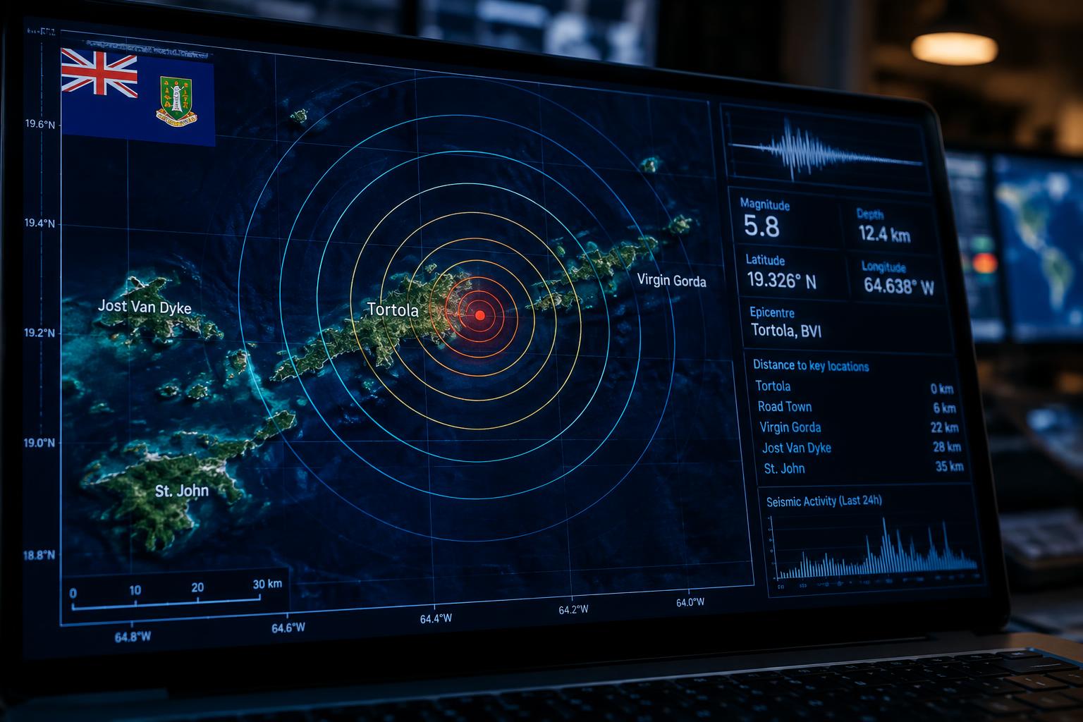
The British Virgin Islands experienced a magnitude 4.4 earthquake in the early hours of Wednesday, November 19, shaking the territory at around 5:06 a.m., the Department of Disaster Management confirmed.
Data from the Puerto Rico Seismic Network placed the epicentre roughly 34.85 kilometres northwest of Road Town on Tortola, at a depth of 39 kilometres below the surface. The tremor registered an estimated maximum intensity of III.
Residents in the territory and nearby islands felt the quake. The epicentre lay approximately 37.05 kilometres north-northeast of Charlotte Amalie in St. Thomas and 138.41 kilometres east-northeast of San Juan, Puerto Rico.
DDM moved quickly to rule out any marine hazard. "No tsunami warning, advisory, or watch is in effect for the Virgin Islands," the agency stated, reassuring the public that no coastal threat had been identified in the aftermath of the tremor.



Comments
No comments yet. Be the first.